Posted by: Juniper Road | May 14, 2013

Santa Fe Beginnings


I just cooked dinner on what seems like a giant-sized range, spread my ingredients out over expansive countertops, and grinned while I washed dishes in an enormous double sink. Yesterday, I practically danced as I walked a few steps to start a load of laundry. And no, our little RV didn’t magically double in size and sprout a washer and dryer…I did it all in a little adobe house we’re calling home– we’ve given up the mobile lifestyle and grounded ourselves.


And we’ve done it in one of the most beautiful towns we’ve seen — Santa Fe, New Mexico. Surrounded by mountains, with 300+ days of sunshine a year, and a truly welcoming community of people, we’ve found our new place in the world. The past month has been a roller-coaster, and not just because we spent the first few weeks camped high among the steep peaks of the Sangre de Cristo mountains. From our last camp in Roswell, we were planning a gradual approach to Santa Fe, mostly to let our job searches mature before we actually arrived and started getting impatient. But then Kris found what seemed like a perfect rental property — it was just listed, but (as we discovered after calling) already had a line of people scheduled to see it. Not wanting to let the little adobe castle with room for our RV and a short term lease slip through our fingers, we packed up late on a Sunday and drove into the night so we could see it first thing in the morning. And it was (is) great — small and filled with light and breathtaking views. It’s so nice it doesn’t even matter that we don’t have any furniture.


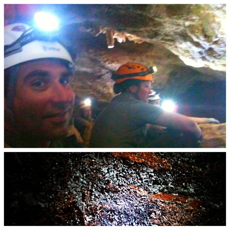
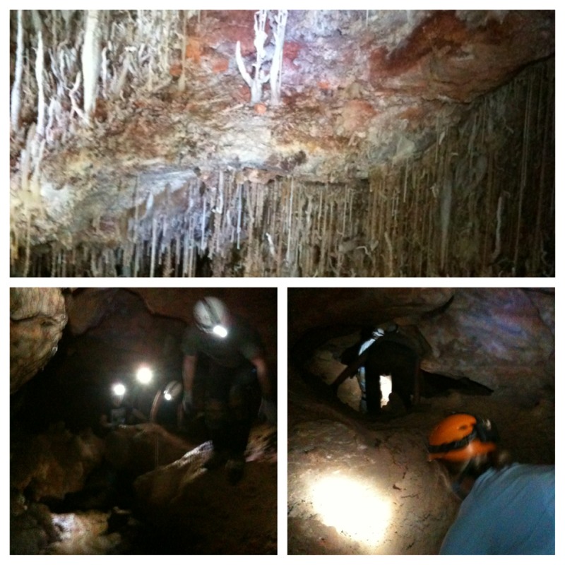
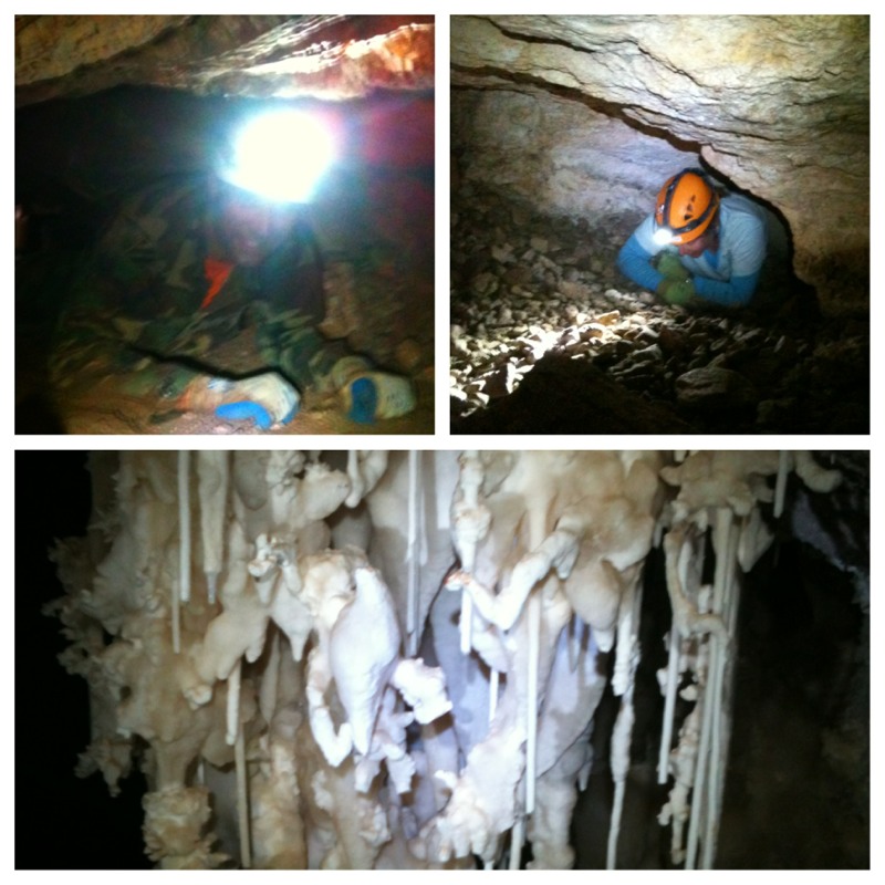
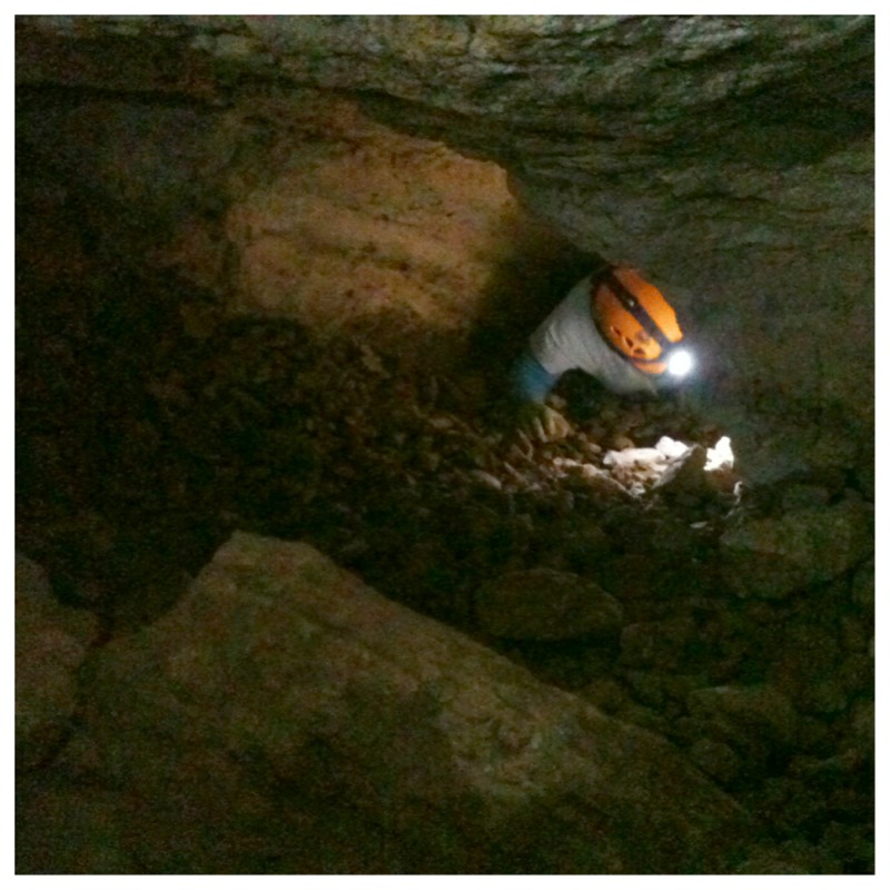
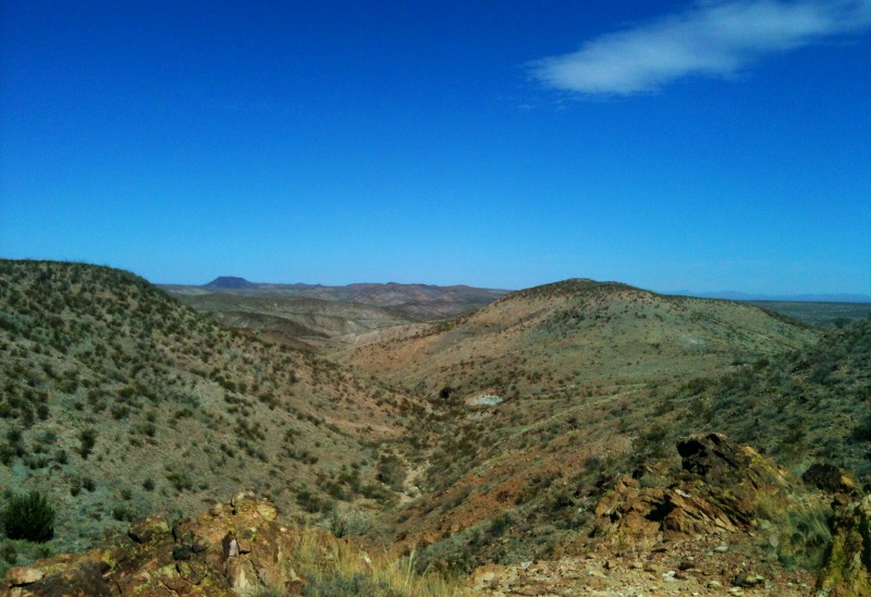
But since it wasn’t available for us to move in for three weeks, we headed into the mountains that frame the north side of town. These snow-capped peaks captured Kris’s attention as soon as we arrived, and are a big reason we’re staying. A surprisingly short drive from downtown puts you high in the Sangre de Cristos, where we camped among aspens and pines and remembered how good it feels to hike on soil instead of rock, under a canopy of branches. At nearly 9,000 feet, we had to adjust to the altitude, and the early spring brought two snowstorms and many frigid nights – and our first frozen pipes! But we got through it with minimal grumpiness and lots of blankets. Near-daily hikes to a nearby peak for our only chance at a cell signal and Internet access became routine, or short trips to town to get to know the place (and soak up some Internet, of course). Sending out resumes, job interviews, and finalizing the sale of our home in Virginia all kept us busy, and made for lots of ups and down as we struggled at times to stay positive. It was a strange time – looking forward to a new life in Santa Fe, but not sure it would work out — afraid to hope too much, trying not to fall in love with the adobe buildings, the green chile burgers, the aspens, and the place where the Rocky Mountains end. This was the time to nail the landing from the cliff we jumped off a year ago when we left our life in Virginia.


Since then, we enjoyed the last of the spring freezes in front of a fire in our little cottage, planted tomatoes and lettuce in a tiny garden as a sign of good things to come, had more ups and downs in the job searches, and little by little, gave in to hope. We love it here – wide open vistas framed by mountains and a wide open community where there’s room for everyone and everyone’s beliefs. And finally some good news on the job front made it real – we made the landing. We are home.

Posted by: Juniper Road | April 11, 2013

The Roswell Incident


There are millions of stars in our own galaxy, and millions of galaxies. Each star is a sun, creating warmth and a catalyst of energy that could sustain life much like our own sun. In 1947, there was a crash northwest of Roswell, New Mexico that involved local farmers, regional police, the U.S. military, and alien visitors. The information is choppy, credibility is on the line with every word, pictures are open to ridicule, and social perception and technology of the time often impedes having an open mind. This is not new information. Elvis fans go to Graceland, I went to Roswell.


The Roswell UFO Museum and Research Center is located on Main Street. A Main Street that has alien head lamp posts, “theme” souvenir shops, and plenty of green visitor signage. For the most part, the town has done an OK job on profiting from their history. However, not all who reside in Roswell seem happy to have the connection. At the museum, I decided moments before purchasing my ticket that three hours may not be enough time to see it all, but went in anyway. Let’s not be crazy.


The display begins with a timeline of those 1947 events. A variety of authenticated documents and artifacts line the floors and wall. Weather balloon pieces from the era, a scale model of the impact site, recorded radio broadcast alerting the public, and all kinds of equipment that illustrate the technology of the time. Moving through the exhibit, I was exited to learn about an excavation of the crash site I the early 90’s, but despite a truck load of soil samples being removed from the site there was no testing conclusions given from that dig. Honestly, when the information stops, I turn on the conspiracy switch. Part museum, part research center, I received an overview on a few things not specific to the famous crash.


They have a section explaining the different levels of “encounters”. The first kind is simply seen in the sky, the second kind is a landing or personnel on the ground, and the third kind is defined by an interaction. The exhibit on implants left me a little uneasy due to the size of material removed from subjects. We’re talking small, like maybe half the size of a small grain of rice. Information on crop circles, ancient civilizations and their documentation of visitors, planetary alignment and layout, the modern day space program and even an artists gallery with contemporary works on display is presented.


The research center aspect implies continued information gathering. In addition to a small theater with a full daily schedule of movies, there is a library. The library has additional video potential, cassette-taped interviews, retail toy culture, and cases filled with books. The exhibit, theater, and library give this stop the potential to abduct several days of your time. Throw in a convention with professors, guest speakers, authorities on space and mind, and zap! I could be gone for a week.


There are answers to questions in Roswell, and sometimes the answers are more questions. In the age of pushing buttons to change room temperature, get crushed ice, or send a letter across the globe in seconds… I didn’t have the patience to have my questions entertained or fulfilled at this time. Roswell was a bigger town than I expected, with all kinds of things to do that aren’t alien related. However, if you find yourself in the area, it’s a no brainer to stop in and enhance your lifetime experiences with a visit to the UFO Museum. With every situation you take away the information you want. You may find undeniable confirmation or potential discredit, but in every case you are in charge of what you want to believe. May the force be with you to provide comfort without fear, and know “they” are part of our loving galactic family.

Posted by: Juniper Road | April 1, 2013

Squeezing in a Wild Cave


As a kid car camping and doing day trips with my folks, we visited a few different show caves in Minnesota, Wisconsin, and South Dakota. After first moving to Virginia over 14 years ago, I spent some time as a tour guide in Luray Caverns and still retain most of the tour information in my memory banks. I feel that visiting a subterranean environment in any capacity is truly like stepping into another world that compels thought and wonder. I also believe something about the air quality adds life to your span. Rolling up to Carlsbad National Park, we quickly discovered many un-guided options in the big cave, as well as a few smaller group tours inside and outside the main cave.


Show caves are both good and bad because the cave environment is extremely delicate. One single square inch of deposited mineral, called a formation, requires one hundred years. The way different methods of mineral deposit themselves create a variety of different formations, and the specific mineral content contributes the various color that you see. Water is the main ingredient for all the construction, as well as the life support for any living creatures. Show caves create a situation where there is typically a paved trail, hand rails, benches, light systems, and result in a large number of people moving through. This activity disturbs the cave environment, which can take millions of years to establish. It’s undeniable. But the public awareness enhances sensitivity, followed by research, to help us know more about what we don’t completely understand, as well as protect these subterranean worlds from exploitation.


While driving, hiking, or biking I’m always checking out exposed rock areas along ridges and river ways trying to asses possibilities. More than once I’ve dropped my pack, scampered up some cliffside, and found nothing but a depression in the rock. Like Juniper is ever hopeful of table scraps, I’m ever hopeful of finding a cavern. Usually, cave topography will produce more than one cave. In other words, where there is one, there is more! There is a ton of cave potential around. Sometimes it’s simply a case of not having the guts to squeeze through a crack in the rocks, with barely enough room to breath, for an undetermined amount of time, until a passage opens enough to crawl, or better yet– stand! Other times, a cave might be near but has not yet revealed itself to the surface with the feature of an entrance. Needless to say this is a deep subject.


Around Carlsbad there are miles and miles of caves. Most all of them are not open to the public with the mindset of preservation, but Carlsbad National Park Rangers offer a couple of wild cave tours. The expert staff, professional equipment loan, cheap tour fee, and small groups make this quite a way to spend your afternoon. Caving options usually sell out months in advance. We did not reserve our tickets in advance, almost missing the opportunity, but lucked into the last two spots for a Spider Cave tour.


The entrance squeeze, no joke, is not much bigger than a case of beer. It’s tight. The first 15 minutes of meeting our rangers and six others in our group was all about wanting to be on the tour under your own will and not coerced in any way shape or form to do something that you might be the least bit afraid of. After being sworn in, we are issued gear (helmets, light, gloves, knee pads), instructions, and set out for the trail head. We float with excitement down the half mile trail to the cave entrance, which is difficult to see, even with its gate, until you’re standing very near. Spider Cave is located in a wash, and years ago the entrance was buried with flood debris and hidden for 17 years. Today, there is a little wall built up around the entrance to keep that from happening again.


We have a last minute safety briefing, one by one head down a small ladder, and immediately drop to bellies for a wiggle of sorts. Honestly, this would be very difficult to do not knowing if you find a dead end or not. But “knowing” created a fearless atmosphere of fun! Ranger Tish took the lead, and Ranger Bob brought up the rear. Rigorous conditions and contortions of travel displayed potential hazards with every move, including Twister-like moves over large pits and drop-offs. Part of the sport in caving is keeping yourself safe as well as keeping the cave safe. The cave takes priority and often you must climb or traverse a risky situation simply to protect the cave. As progress is made through the maze, we become a string of cavers where the front cannot communicate with the back. As delicate features or hazards are encountered, the message is passed back from person to person as close to the area of interest as possible.


On our tour we received regular cave back ground, mixed with specific history to Spider Cave. We were underground for the better part of three hours! All the while seeing things that not so many people see. Ranger Bob made a good point of mentioning that caving gives you the ability to go where no one has ever, ever, gone before. You can still do that in space, as long as your budget and time allows. Or for a relatively low cost investment, you can go underground to achieve that same sense of adventure, and most likely you won’t burn up on reentry.


Lucky for us we were guided. There is potential pathways tenfold out of every room. Consider it like exploring a sponge. In fact, a research team goes in to the cave for days at a time and we could’ve “bumped” into them down there as they moved from an off limit “wild” portion to our “tour” portion for the exit path. No railings or walkway. We mostly stayed on our hands and knees. This is not a luxury tour, but with the right enthusiasm it’s a luxury to have the opportunity to be in the cave at all. Cave pools, various formations, tons of history, and some customary total darkness captivated our attention. The time on the tour seems to fly by, which totally indicates a certain level of fun. Before we knew it, our tour was over and we were hiking back out of the ravine that conceals the entrance. Experiences like this, that are last minute and unplanned, are usually the best. In this case, incredible.

Posted by: Juniper Road | March 29, 2013

Carlsbad Caverns Greatness


On a trip filed with greatness, Carlsbad Caverns National Park quickly jumped to a place near the top of the greatness list. In the southeast corner of New Mexico, it’s close to not much of anything, but worth every bit of the effort it may take to get there.

We decided to boondock about fifteen miles from the park. There are no close-by camping options except for one private RV park, and we wanted to avoid an hour+ drive to get in, thinking we might want to visit more than once.

We planned our first visit early in the morning – the weather had turned hot, and we didn’t want to leave Juniper alone during the afternoon so we could make sure she was comfortable. We arrived shortly after the Visitor’s Center opened, took a brief look around, and headed in. Or rather, down. There are two ways to enter the caverns – an elevator whooshing down 800 feet, or a mile and a half hike through the natural entrance. We headed for the natural entrance. It’s a large opening in the limestone cliffs with a paved trail slanting down. And down. And down some more. A countless number of switchbacks takes you gradually from daylight to dimness to twilight to cave darkness (with man-made lights showing the way).


We were greeted by cave swallows as we entered – gracefully swooping and circling the high ceiling, they chirp and call to one a other as they enter and exit the nests they built hanging tight to the cave cliffs. They were charming and unexpected and we stopped to stare for long minutes. (In the fall and winter, this is where thousand of bats enter and exit – we’ll have to return for that spectacle). The hike in turned out to be a wonderful way to get to know the cave – as you walk deeper, formations become visible and the vastness of the caverns starts to hit you. The top of the cave seems to be between two and three stories high the whole time, and it’s wide too – there’s nothing close or cramped about this place, although the path does have a few short tunnels blasted through the rock as you descend. The natural entrance is grand and striking and awe inspiring. We took more than an hour to make our way down.


Then we found ourselves in the Big Room – the main attraction of the Caverns — and the grandness continued. The Big Room is, well, cavernous.
The ceiling is high, perhaps two stories, and the “room” stretches on farther than you can see in the dim light. And what you can see is dense with spectacular formations. Thousands and thousands of years in the making, there are delicate soda straws, giant columns, curving draperies and more. This room would hold something like six or eight football fields. It almost defies imagination, even when you’re right there in person. We gawked for another half hour, seeing only a small part of the place, before we had to queue up for a guided tour of the King’s Palace, part of the cave only accessible with an add-on ticket we’d been lucky enough to snag.


The tour was a bit frustrating – although the ranger was full of good information, it was a large group and moved slowly. We were there during spring break for many local schools, and the park had added extra tours to accommodate anticipated crowds. Still, we got to see three or four magnificent rooms we otherwise would have missed. And those rooms were packed with giant, dramatic formations, including a forty foot drapery column – like a thin, waving piece of fabric captured in stone. We also learned more about the early explorations of the cave – done on ropes past piles of bat guano with a candle lantern for light (which would not have been enough to illuminate the vast greatness of this place, but would have been a remarkable experience. Except for the guano part). By the end of the tour, I was starving and the crowds had arrived. We waited in line to take the elevator up, wolfed down our lunch in the car, and went home to Juniper, enjoying an evening in camp with our friends Kathy and Greg, who we’d last seen in Ajo.


We returned the next morning to see the rest of the Big Room. We were on the first elevator of the day, and were the first people in the Big Room. We skipped past the part we’d seen and headed for the rest of the mile+ loop. It was magical – we had the place to ourselves – our own personal National Park! All we could hear was the quiet dripping of the cave and our own muffled footsteps. We savored every moment of the next hour or so without another soul in sight, and gazed in wonder at the continued magnificence of this place. And despite the hundreds of pictures I took, it seems like not a single one does this place justice. This place has such sheer enormity, a vast magnificence, and even a quiet grace that just doesn’t lend itself to pictures. Carlsbad Caverns has all of that and more – it was truly an awesome experience.


We hiked out the natural entrance to complete our visit, equally as special in reverse. At the top, we spent a few more moments with the happy, swooping cave swallows. Leaving through the now-jam-packed visitor’s center, we couldn’t believe our good fortune, and gave thanks for the gift of solitude we’d had for our visit.

Posted by: Juniper Road | March 22, 2013

Peak Bagging in Texas


Peak bagging in Texas? It sounds crazy to think that state has a land feature identified as a peak? It just so happened our journey has taken a swing to the north, after a mini dip into West Texas. Stopping to rest in Guadalupe Mountains National Park for the night, we found ourselves at the base of the “tallest” point in the state. Towering above the surrounding Chihuahuan Desert landscape, the 8,749ft chunk of rock was something that I needed to stomp around on.


The above picture shows our “base camp” in the bottom right hand corner. The picture below, is a shot forward and back at the first major turn after the main series of switchbacks that give a boost to elevation and sets you on your way.


Guadalupe Peak, and its neighboring chunk of mountain called El Capitan, are basically the southern most tip in the Sacramento Mountains that stretch up into almost the middle of New Mexico west of Roswell. In years past, this place was a landmark used by travelers moving to California for a rest and resupply stop between Missouri and San Fransisco, as they chose an easier southerly route that bypassed many of the larger and more dramatic mountain ranges. It’s a picturesque area. There is a ton of hiking potential within a variety of Eco-Zones that are still on the mend from negative impacts of ranching and mining over a century ago. History is around every corner.


Considering the fact we all make our own histories on a daily basis, well, I just couldn’t sleep thinking about the noteworthy summit within a few minutes from where we were camped. I woke early, turned lights on, made noise making coffee, and wrestled around with my gear. All the information boards indicated the Guadalupe Peak hike was extremely strenuous and required a 6-8 hour chunk of time. Not wanting to be out in the hot afternoon sun, and not wanting to start in the dark, I left as soon as the sky was light and the trail visible.


For the first 45 minutes the trail was switch backing straight up, and I could still see camp the whole time. The ball of sun crested the horizon and I was quickly blinded and hot. It was about 0800 and I zipped off pant legs, removed a layer, and put on my floppy hat. The sun giveth life, and the sun can punish ye too. About an hour into my ascent, the trail went into a shaded area of the mountain, and caused a natural air conditioned feeling that was welcomed. The views along the way prompted me to halt progress every ten minutes or so to take some pictures. I offset this down-time by running some of the flat sections, and was working my hiking poles like a robot for the rest of the way.


The trail was well improved, and horse friendly, with a few sections signed for riders to dismount due to particular skinny-ness and drop-off features. I was feeling good. My bursts of speed on the flat sections seemed ridiculous, but I enjoyed a properly functioning body. The last peak I climbed, Mt. Whitney, left me fighting with myself for every few feet and this climb was pleasurable in comparison. As I climbed it looked like I was almost at the top after an hour and a half, but I knew once I got around the corner I would see the bigger part of the mountain looming in the distance like some cloud-reaching specticle.


Nope. I crushed the advertised travel time and stood on the TALLEST PEAK IN TEXAS after two hours, with nobody around. I was way ahead of schedule and would be back with my family before lunch. The winter gear, including micro spikes, were not needed and simply added to the morning’s exercise. I texted my sweet wife from the top, while eating a javalina and cheese sandwich, encouraging her to start heading up so we could hike down together. I goofed off for a while waiting for someone to come to the peak, thinking I’d get a picture of me “planking” on top, but no one was visibly on their way.


Heading down, I ran into people on their way up. I told them they had about a half hour to go, and they asked if anyone else was on the top. I said no, and that was met with shock. Evidently, there can sometimes be a hundred people up there! How lucky was I to miss that scene?!?! Cool. With a pep-in-my-step, I asked everyone I passed on my way down if they’d like me to take their picture. Many were delighted, and I believe the others who declined were too shy. Treating every hiker’s picture like a photo shoot, I’m certain they had something, or someone, to talk about and pass the time while they hiked.


Like planned, Cassie climbed up and met me on the side of the mountain. With a great distant view on nearly every part of the trail, she beat down first part of the trail, which was the hottest in direct sun with no cover, steepest, and not on the air conditioned side. What a trooper! After heading back together, we packed up, had a wonderful visit with our next door neighbors who we recognized from our stay in Death Valley, and just squeezed through our noon “check out” time before bouncing down the road to our next destination.

Posted by: Juniper Road | March 20, 2013

White Sands and a Missile Park


We day-tripped from our base in Las Cruces to White Sands National Monument, about an hour away. The route took us through a beautiful pass in the Organ Mountains, and then across a long stretch of empty, flat desert, and finally through one of the many Border Patrol Inspection Stations that dot the highways all across southern Arizona, New Mexico, Texas, and southern California. Cleared by the agents, we were within sight of White Sands National Monument and headed right in.


The sand at White Sands is actually gypsum particles from the nearby mountains and eroded by wind and sometimes water to very fine particles. Blown around for thousands of years (or more) they’ve reached the basin floor and formed huge dunes. The dunes do an awful lot of moving themselves – some move as much as 35 feet a year, shifting and reforming in the high winds that often buffet the area. The gypsum is firm and very fine grained, almost soft, and a very pure white. And the whole place is open for hiking and playing around – even for Juniper! So that’s what we did – we followed “Dune Drive” several miles out to a deserted area and hiked in. Within minutes, the car is hidden by a giant dune and all we can see are white sands stretching for miles to a ring of mountains.


There are some hardy plants that survive here – mostly yucca (the state flower of New Mexico!) and either stretch their roots deep enough to survive or manage to hold enough of the shifting sand in place. But really, there is just white sand in rolling dune after dune. Juniper loved it. We hiked up and around, jumped off, and climbed back up until we were all thirsty and ready for some shade. It’s a really neat place and one we hope to return to for a backpacking trip in the future – when we can camp far out among the dunes.


On our way home, we stopped at the nearby Army base — the White Sands Missile Range. The base has a missile park and museum that are open to the public, after a short screening process. What other time will we be able to see a missile park? With a gorgeous mountain backdrop, the outdoor missile park is a bit surreal. The museum is packed full of history – from the Cold War and underground shelters to early missiles and the atomic bomb testing that took place elsewhere on the base. There’s even an authentic Darth Vader mask (a thank you gift from the film crew after some sound effects were recorded on site.) You could spend a whole day there learning about the scientific advancements in weaponry – impressive and sobering at the same time.


With the sun going down, we boogied back over the range to our home base, once again surprised by the unexpected places we get to explore.

Posted by: Juniper Road | March 15, 2013

Finding Cache Rewards


I’m scrambling up the side of a rocky outcrop in the Robledo Mountain Range with my sweet wife trailing behind me maybe by as little two minutes. The horizon is tanned desert hills, with the occasional chunk of bossy mountain, and the sky is a magnificent blue. I’m convinced the trail we’re following has been used recently by human, but the further we climb it seems more adequate for a four legged creature. Hugging the side of the cliff for safety as I crouch along, I bang my shoulder blade into the hillside so hard it feels like a mini attack. Gravel begins to bounce and tumble away with each step. The incline is such that I’m now on all fours squeaking between rock wall and scratchy shrubs that demonstrate pure survival. Contemplating as I go that it’s much easier to climb than descend, my risk assessment is bad news. There is no place to bail to if I begin to slide. If I start to slide, the party is over due to some vertical drop of maybe four body lengths onto steeply sloped talus. I’m frozen for a moment and cannot climb. I cannot descend for a moment either. Immediately I yell for Cassie! Her response comes from a fair distance away and I’m calmed knowing the trail she is still occupying harbors sturdiness. Making a conscious effort to contain my mini panic, I yell for her to “turn around and go back down”!


After ninety long seconds of mind over matter I negotiated the tough spot and was soon at lower elevation where we both begin flanking this bossy mini mountain in search of top, and the cache. We are at a place called Outlaw Rock searching for a series of northerly and westerly numbers that will bring us to our sought after geocache prize. And we are having a blast. The history with this area revealed 1800’s cattle rustlers who would steal cattle in Texas, drive them into the Mesilla Valley of New Mexico, sell them to the soldiers at Fort Seldon, wait for the Cavalry to leave, then steal the cattle back, and return to Texas with who knows what type of story. No doubt if the story had anything to do with Texans or their beloved state, it was big and fat.


We have been Geocaching, thanks to Watsons Wander and Aluminarium, who were the original driving force that got us interested. It seemed cool, and we wanted to be cool too. Clearly the process provides a list of activity and entertainment. First and foremost we are exploring the back country, usually off trail. This has been one of my favorite activities for a long time. The hiking and rock scrambling (as long as you never bump your head) (knock on wood) provides good exercise, and we happen to find out some otherwise overlooked history along the way while searching for our grid point as well. When your geocache destination has been reached, there could be a variety of things to be found.


Sometimes, according to my newbie take on the game, you will find yourself with a type of landmark cache. Once standing in the prescribed point on the map you may not be looking for a thing, but at a geological or geographical reward of sorts. This could be a fault line, mineral spring, cemetery, or the meeting of two very different rock compositions. That’s also part of the fun to be exercising the mind. Other times, it may be what is called a “mini-cache” and you end up searching the area for cigar sized container that may simply have a scrolled up log. You sign it with your club name, and date. It’s fun for us to see when the last time someone was at the same spot. We’ve hit a few targets whereas a whole year passed since the cache was last found. The best type of cache, for me, it the ammo box filled with treasure. In addition to a log book, you may find; stickers, fancy coins, pretty rocks, matchbox cars, mini labyrinth puzzles, first aid items, wind-up toys, plastic insects, crayons, or… just a clue to the next/real grid point.


The best yet geocache was the multi stage in Deer Canyon. We parked on the east side of the Rio Grande River, and simply walked across the sandbox. Water issues could be, and should be, a topic of focus on daily news everywhere and a completely separate blog. (To sum that up; whiskey is for drinking, and water is for fighting). Much of the desert precipitation is seasonal, and a major part of the landscapes history that cannot be overlooked due to the geologic clues that are in your face without topsoil. The mountains here were mostly built underwater, and the wind and water is what is tearing them down. A canyon is basically a section of potential flash flood architecture that is essentially skinny and chamber-like up top, but wide and open at the bottom where it would pour into the river. We crossed the river of sand, and began our ascent upwards in a giant alluvial plain. Constantly moving upwards and towards our first set of coordinates, the rocks get bigger, and the walls of the canyon slowly close in on us.


Like most geocache spots, the booty is hidden. It’s typical to bury or conceal the cache box into the environment to discourage tampering by non game players. I call these people “cache-buggers”. A I previously stated, we are new to this sport, and I may not be using the proper terminology. Those people suck, and they usually leave a zillion shell casings all over the ground as well. ( We’ve been stymied more than once by this activity) Once on target, with our smart phone accuracy being about 50ft, a search of the area is conducted. It usually looks a tad out of place, like rocks from the localized area placed in a semi-unnatural manner. It’s always a thrill to invest the time and energy into getting “out there” and actually find something.


Stage one was an ammo can filled with pill bottles. Most of the containers has a small amount of change in them. I was focused on the inside, but the credit of seeing the letters on the outside goes to my brilliant wife. There were 14 containers with letters that corresponded to the first 14 letters on the alphabet. Lined up in sequence, the small change value within the bottles provided a sequence of numbers. That sequence of numbers broken down into a familiar pattern gave us the next grid coordinate, and the subsequent location to stage two. Boom! The hunt continues upward higher/deeper into the canyon. We climbed over and around several “dry” waterfalls, the whole time while walking on a trail of minerals. The sun was hot and the shade refreshing. In one location I pointed to the giant slab of rock and said “hey, that looks like animal footprints imbedded into the rock, I know it’s not, but it kinda looks that way”. Cool. A day later we realized we were just outside the boundary of Prehistoric Trackway National Monument, where a big discovery was made/acknowledged 30 years earlier.


Of course we found the second stage cache, and marveled at the various toys inside, but only part of the pleasure is the treasure. It’s the journey and process of the hunt that we find most rewarding. Let’s count the days until we set up our own points on a quad for you to find goodies. I’m leaving a can of beer inside our Juniper Road Cache;)

Posted by: Juniper Road | March 10, 2013

Sunny Skies


We’ve been in New Mexico for a little over a week, with endless blue skies, bright sun, and lots of high winds. We are in the southwest part of the state and while it’s dotted with mountains, it’s also part of the Chihuahuan desert, the largest in North America. As I type, the winds continue steadily at around 20 mph and gust up to 40 or so, rattling our windows and shaking our trailer. We’ve had a couple of days like this – it’s part of spring here – and it’s not too bad, especially when it’s warm and the sun is shining. It does pick up the dust though, and after one particularly blustery day we had a thin coating of dust over every surface in our little home. (Oh well. Your standards of clean flex a little bit after being on the road for a while and road dust is part of life.)

On our trek here from Tucson, we hit the worst traffic of our entire trip. Maybe because we generally avoid Interstates, or try to travel at off-peak times, or perhaps we’re just lucky — but we haven’t been in too many traffic jams while towing the trailer. Just west of Tucson, around noon on a Wednesday, we pretty much came to a stop. Surrounded by tractor trailers in both lanes as far as we could see, we crawled less than ten miles in the next hour. Eventually we passed the construction zone and then the special wide load trailer and its many highway patrol escort vehicles that had backed up the Interstate most of the day, and had the whole road to ourselves.

Our own little stop at the rest stop. Not too shabby.

We sailed into New Mexico easily after that, and spent our first night at an easy boondock spot – one of the state rest areas. In a very welcoming gesture, this particular rest stop along I-10 has about a dozen shelters (or rather, ramadas or casitas as they’re called here) stretched out in a big loop behind the main building. These are meant for a single night stay as you travel, and there was only one other rig camped there, so plenty of room for us. We were pleasantly surprised to find them immaculately clean, with big picnic tables, a light, and our own individual trash can. (Disposing of trash is one of the little chores that comes with boondocking – not hard necessarily, but it takes some thought- so the trash can was a nice touch.) At the end of an unexpectedly long day of driving, we were happy to pull in and relax without much thought required. (Yes, there was noise from the highway, but it wasn’t bad, and the big field we could walk Juniper in made up for it.)

Our first hike in the Organ Mts. You can see our camp in the distance towards the left.

One of the great views from the windows!

The next day we found a small spot on BLM land a few miles south of Las Cruces, in a break from the pecan farms that cover the land here. While not our best camp site because it was near a trailhead, it did have wonderful views that made it worth staying for several days. It was also a good base for nearby hiking in the foothills of the Organ Mountains, and easy enough to get into town for exploring.

The view from our front door, and where we headed for our second hike.

Nope, not going up that way.

We spent an afternoon poking around Old Mesilla, an adobe town square adjacent to Las Cruces, looking at handmade silver jewelry and getting our first taste of New Mexican cuisine at a local restaurant that’s been on that site in some form since at least 1870 (the enchilada with red chili sauce was a hit, as was the endless salsa that had a nice amount of heat.)

Window shopping among the adobe buildings of Old Mesilla.

When the first day of significant winds was forecasted – gusts over 50 mph for the entire day and into the evening – we decided to move on. Our spot was pretty exposed, and while there was more hiking to be had, we weren’t going to do it in that weather. So we packed up and broke camp. We also broke our 46 day boondock streak and, after resupplying in town, headed north of town to Leasburg State Park. We like it here more than we expected — we are in the primitive loop (no hookups, no casita) and it feels fairly private – almost like we’re still out in the boonies, only this time with a great cell signal and a short walk to hot showers. I got to dust off my hair dryer and get back my big hair, what a treat!

Hiking in the Robledos.

Yep, going up this way.

Best of all, the Robledo Mountains are our next door neighbors and have proved to be a great place to hike. This time of year, the landscape looks mostly brown and dormant, but once we got out there, we found ourselves in gorgeous multi-colored canyons with dry waterfalls to scramble over and all kinds of vegetation thriving in this dry environment. We’re looking forward to getting back out there for more. And then enjoying a hot shower of course.

One of the colorful canyons.

More of the Robledos

Climbing up a dry waterfall – it was bigger than it looks 🙂

Posted by: Juniper Road | March 4, 2013

Anniversaries


We gave ourselves a year off for this grand adventure, and while sometimes it feels like we are just getting warmed up, we are actually coming up on the one year mark. It’s hard to believe, until I think back to all the mountain ranges we crossed, the boondock spots that tied my stomach in knots to find, the trails we hiked, the history, animals and plants we’ve learned about, and of course the incredible friends we’ve made. Then the memories stretch out before me like the Milky Way, and it seems like it can’t possibly have only been one year.

Views inside and out. Some of the rocks we’ve collected along the way.

And then there’s the list of places we haven’t been yet…and although we haven’t made it to some seriously great areas – northern Arizona, southern Utah, Colorado – this list doesn’t bother me too much. We learned after just a few months on the road that every choice we made to see one place meant some other place we wouldn’t be able to see. There is awesomeness all around and we got pretty comfortable with the tradeoffs and easily gave up the idea of some kind of “perfect” route. Looking back, I wouldn’t change it — how could I give up our time falling in love with Astoria, Oregon? Or meeting the unforgettable mountains of the Eastern Sierras? Or spending weeks in the forests of Montana and the desert of Arizona?


The one year anniversary has made us really think about what we want to do next and how we get there. One year ago this week, we had quit our jobs, were frantically packing up the house, and figuring out last minute logistics for the trip. We finally hit the road and jumped into this great unknown – and had to learn to slow down and set our own pace, lingering longer when we wanted to and moving on when it felt right. While we could keep going on the road, we’ve both agreed that we’re ready to put our energy into building a life somewhere, becoming part of a community and getting back to work. (Of course, I wont be sad about having always-available hot water and easy access to a washer and dryer again. And don’t get me started on a hair dryer!) Much to Juniper’s dismay, it’s also time to reunite our pack and include our cats in our home (don’t worry, they have been safe, happy and loved with my mom!)


So we are slowly drawing this great adventure to a close…a few more weeks exploring New Mexico and then a focused effort to find a new place to live, starting here in the southwest. We’re looking for jobs and mentally preparing ourselves for real life…only this time with chickens! Yesterday also marked our seventh wedding anniversary – our grand adventure really started then, in the middle of a snow storm in Lake Placid, New York. From that day to this one under the sunny skies of New Mexico, it’s been an incredible journey, with another new chapter ahead. And maybe a little bit less worrying about finding perfect boondock spots. And more cats.

Posted by: Juniper Road | February 28, 2013

On the Road Again


We rolled out of Ajo, Arizona on a high note. After the tremendous company we’d been lucky enough to have, we got back to real life and spent an afternoon in town getting our pre-departure chores done – laundry, propane, gas, and water. We soaked up some wifi at the public library to catch up with the world, update the blog, and install some laptop updates. While I finished that, Kris stopped in at the art gallery to retrieve his art from the show. Just as I paused to think that he’d been gone longer than I expected, he walked in with bright eyes and a big grin. One of his pieces was sold! The day after the opening, someone with very good taste snapped up his painting of cactus done on metal reclaimed from the desert. In fact, as of the day we left town, his was the only painting sold from the show! Completely awesome. (And no one we know bought it – none of our friends were around at that point!)

We’d been boondocking at our second Ajo camp location for 17 days and had pushed our tanks to the limits (36 fresh/38 gray/38 black). In fact, we tied our previous record for longest time without emptying them. Although we had a few gallons of water left in the fresh tank (we’d been using the refillable jug for drinking water, giving us more leeway), it was time to go. So we packed up, gave one of the local RV dump stations our business, and headed east.

Since this fall, we’ve settled on planning for about three hours of driving time each day when we map out our route. Add on time beforehand to break camp, hitch up, and batten down the hatches, and time after to park, get level and unpack everything that had been secured for travel, and it adds up to a long enough day. Everything takes a bit longer when you’re pulling a trailer anyway, and we always want to arrive before dark. (If you have to back up a trailer in the dark out in the boonies, you may as well just close your eyes and hope. Or so it seemed when I’ve tried to use a flashlight and direct Kris.). We can’t always stick to three hours, and some days have been much longer, but it’s been a good planning guide for us.


Three hours from Ajo put us on a little slice of BLM land just outside of Tucson and known for RV boondocking. It wasn’t much compared to the spectacular scenery we’d just left, but it was perfectly fine for a stopover in civilization. There was a big rocky hill to climb, rabbits for Juniper to hope for, and enough space that we didn’t feel crowded by the other RVers (some of whom turned out to be quite nice!). We took advantage of the location to find a place for the month’s worth of recycling we were carrying around. Recycling on our trip has been surprisingly difficult in many areas (except Oregon!) and it was a relief to unload our stash. Other errands led to many hours in the truck in stop and go traffic, which was exhausting – we are clearly spoiled by life out in the boonies.


We did make time for one or two fun stops amid all the traffic lights. The best was to see Mission San Xavier del Bac, an historic church built by Spanish missionaries and still used today. Construction began in 1783 and it took about 15 years to create the grand structure. The inside is a riot of color and carving — there is so much to see it’s hard to know where to look. I especially liked the carved metal door handles shaped liked serpents and the beautiful domed ceilings.


The plaza in front of the mission has some Native American crafts and food vendors. The very high winds that day made it feel about 35 degrees and hard to be outside for long, but we investigated along with Juniper. We broke our “rule” of not eating out, and split a feast of Indian taco for lunch – basically a piece of fried bread dough (made as you watch) topped with lettuce, tomato, beans, cheese and chili. Yum. We were fortified enough to get our grocery shopping done and make the drive back to camp.

We also managed a quick stop at Saguaro National Park, and added a new stamp to our fabulous National Parks book. We didn’t stay long enough to truly appreciate all the park has to offer, but we did learn more about how the huge variety of birds, rodents, snakes, rabbits, bats and more that thrive in the harsh environment. Apparently, roadrunners will tease snakes into striking multiple times, with the wily roadrunner escaping each strike, until the snake is tired and easy pickings for the bird’s dinner. And I sincerely hope we never, ever, ever stumble into one of the caves that large groups of rattlesnakes hibernate in during the winter. Yikes.


Although Tucson is a surprisingly pretty town surrounded by mountains that promise great hiking, we didn’t linger. Next stop – New Mexico!

Older Posts »

Categories